Finding the Next One Over.
Traveling the High Desert of Nevada, Oregon, and Idaho
Editor: Eric Bewley Photo:D. Capell, S. Chaney, M. Verley, S. Bewley
Fields, OR – A few years ago we set out on a grand adventure to find the convergence of the Oregon, California, and Nevada state boundary lines. That exploration was so enjoyable not for finding the actual spot on the ground where the states met but for seeing all of the stuff along the way. That trip definitely reaffirmed that it is truly the journey and not the destination that fulfills. So, the thought arose as the where we’d try to go next and the obvious choice was to follow the Oregon border further east and pick the next convergence of state boarders. That’s what we did and that where we went.
The group formed rather loosely due to scheduling and commitments. We had designated a rendezvous time and place of Friday at the Bureau of Land Management’s sunstone collection area. This is a rock / gem hound’s dream as one can spend all day wandering the desert picking up little yellow rocks that look like dull diamonds. Some of the group headed to this area a day early and they were treated to some very rough weather including wind, rain, and enough snow to crush an pop-up sunshade. So much for welcoming and beautiful summer-like weather.
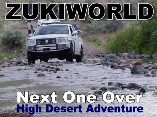
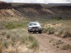
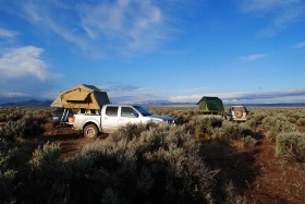
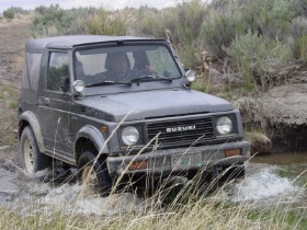
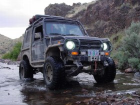
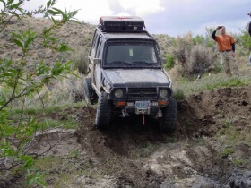
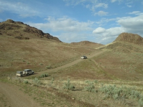
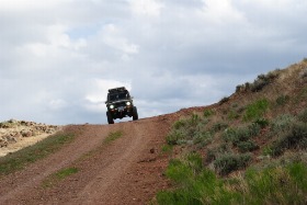
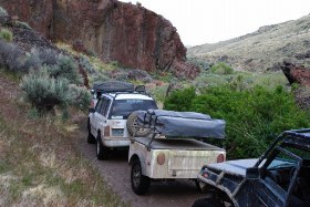
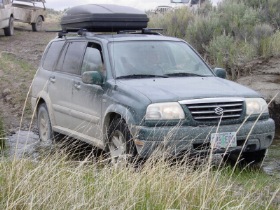
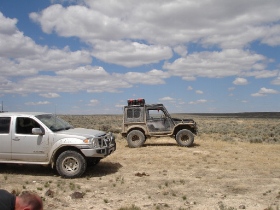
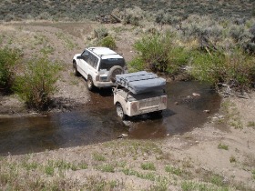
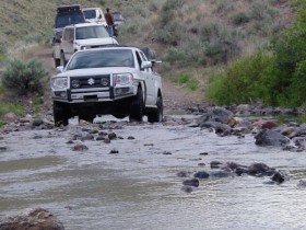
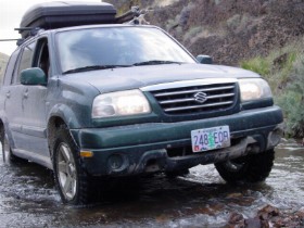
Our journey began Friday morning. We met up with Scott from Compact Camping Concepts in Salem and began our trip. He was sporting a new camping trailer called the Dinoot. This is a really cool DIY camp trailer system that is very much at home in the outback. Our trek on was uneventful until we left pavement at Christmas Valley. From that point on it was a difficult slog through slippery and steep two track roads. It was awesome! The Suzuki Equator did extremely well and even though the travel was slow going, we were able to enjoy the road, scenery, and company all day long.
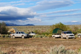
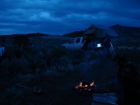
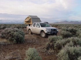
We dropped into the Sunstone collection area fairly late in the afternoon but due to the easy to use ARB roof top tent system, we were set up in about 20 minutes. Matt and Stasi had gotten there the day before and to my disbelief they had not picked up one precious, well OK… semi-precious sunstone. What’s wrong with these guys? Anyway, Matt did make a nice Eagle Scout type fire with a little draft hole and everything. It was like, cool.
This area of Oregon is a bit barren. By that I mean there really isn’t anything around, at all. Which is nice when you want to decompress. Saturday morning greeted us with a cool solitude that is definitely an acquired taste. DISCUSSION THREAD
Our exploration began in earnest Saturday morning. We only had a loose agenda for the weekend with the goal of finding the survey marker for the convergence of the Oregon, Idaho, and Nevada boarders. Other than that, it was pretty open. I did want to have one of those famous Fields cafe’ milkshakes but that was about it.
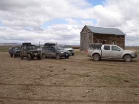
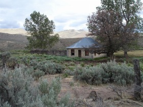
We traveled just to the North edge of the Hart mountain reserve and found a very nice working cattle cabin slash stock yard slash watering hole along the way. It had some really nice old buildings and strewn about was the now priceless bits of cool garbage such as hand powered water pumps, old oil barrels, leaded windows, etc… We spent a good bit of time checking this site out.
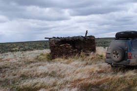
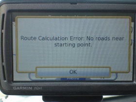
Next, we were treated to a single cabin all by itself way up on the plain of Hart mountain. This thing was way out there and I can’t believe it was ever anything but a hunting camp. David’s GPS had a name for it, but that is now escaping me. You know, his GPS is really cool, it’s one of those Lawrence units that has the large screen and the maps seem to have quite a bit more detail than our more pedestrian models have. But I digress… DISCUSSION THREAD
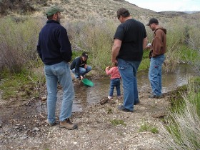
The weekend saw so many wonderful things but one of my favorites was Sunday morning. We had camped on a creek close to Whitehorse hot spring and what was so special to me was that the weather finally broke and the song birds in the morning were just amazing. I’m not getting soft on you here; just saying it was really pretty, mkay.
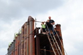
With the weather looking up and our batteries recharged and washed (Stasi) we headed east for some more adventure. The Fields milkshake was great, as expected by the way. Another highlight was stumbling on the the Codera mine. This is a mine that we had visited many years ago on an ghost town adventure. The mine is a fairly complete mine that has all the goodies still intact. In fact it’s amazing how much stuff is still there. From personnel paperwork dating back to World War 2 to a head frame that appears to still be operational from even earlier, this mine has it all. Oh yeah, mercury too. One disturbing note was that the BLM is trying to mitigate hazards there so some history is getting covered up by a bull dozer. Safety first! Right?
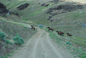
Right outside of Mcdermitt, we traveled along the north edge of the Ft. Mcdermitt Indian reservation. We were treated again to some awesome scenery reminiscent of Moab in some ways with the tall spires of rock and deep canyons. One thing that was definitely cool was the roaming band of wild Mustangs that were feeding along the hillside on our route. For some reason horses in a pasture or corral or under a person just don’t seem to have the appeal that these wild ones do.
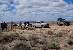
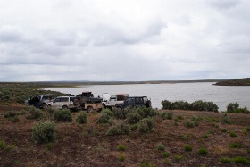
We arrived at our last campsite for the weekend just about 10 miles away from our goal late Sunday with the plan to charge after the goal and then hustle home to make it back to work on Tuesday. At least that was the plan. Due to the severity of the roads and trails heading into the goal and out from there most all of us didn’t get back well into Tuesday morning with some opting to stay another night in the wilderness. DISCUSSION THREAD
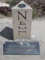
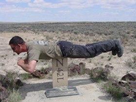
The Goal was made exactly at high noon on Memorial Day and was quite a suprise. With nothing around for miles, and miles, and miles the government has erected a very nice marker with placard for those that dare to travel there. It is very interesting actually and the placard tells more about this spot than one would ever want to know.
After the site was met, we began heading west toward home but did not see pavement until late into the afternoon. We split up into faster and slower vehicles and headed off in two separate groups. There was some fuel drama as the Samurai were on fumes as they headed towards Burns but they made it and can now tell the tail of how they almost didn’t get out of there alive… no, not really.
Final reports by all suggested that a good time was definitely had and plans have begun to make the next one over. Which by my calculation would be the Idaho, Wyoming, and Utah boarder but that is for another time. DISCUSSION THREAD.

 ZUKIWORLD Online – Everything Suzuki Your Complete Suzuki Automotive Resource for Editorial, Tech, Events, Adventure, Racing, and Forum

One comment
Pingback: Another One Over – Continuing the Adventure | ZUKIWORLD Online - Everything Suzuki