 ZUKIWORLD Online – Everything Suzuki Your Complete Suzuki Automotive Resource for Editorial, Tech, Events, Adventure, Racing, and Forum
High Desert Adventure in Idaho, Nevada, Utah, and Oregon:
Editor: E. Bewley, Pic & Video M. Verley
VALE, OR – The genesis for this adventure event really happened by chance during a routine campfire brainstorming session. During that meeting of the minds, we were thinking of a good reason to explore around the area near Lakeview Oregon as we had fallen in love with the mountains surrounding that town at an even earlier Oregon Back Country Discovery route expedition. We had always wanted to get back there; now we just needed to have a catalyst. How about finding the point where the state boarders converge and make that “the goal”? Fast forward to today and several thousands of miles later, we have seen so many wonderful examples of western triumph and tragedy as well as some of the most remote and arguably beautiful country in the lower 48.
![]()
By following the latitude established by the southern border of Oregon and Idaho, we have made a series of adventures that feature most of the Majesty available both to the immediate north and south of this line. This adventure event focused mainly on Idaho, Nevada and Utah with some small sections of Oregon thrown in for good measure.
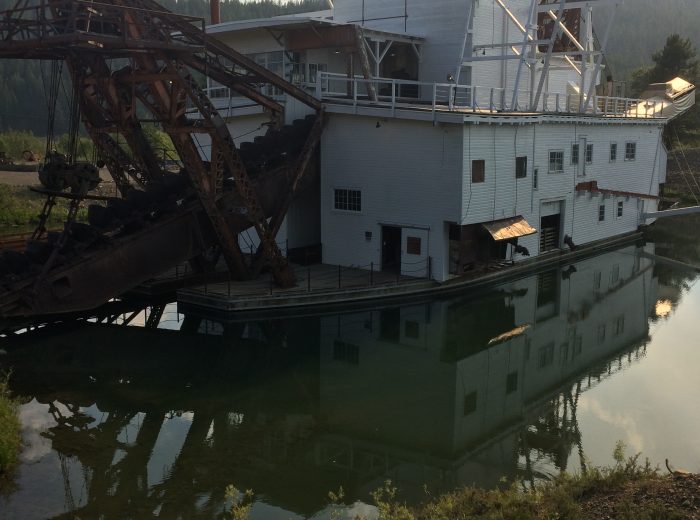
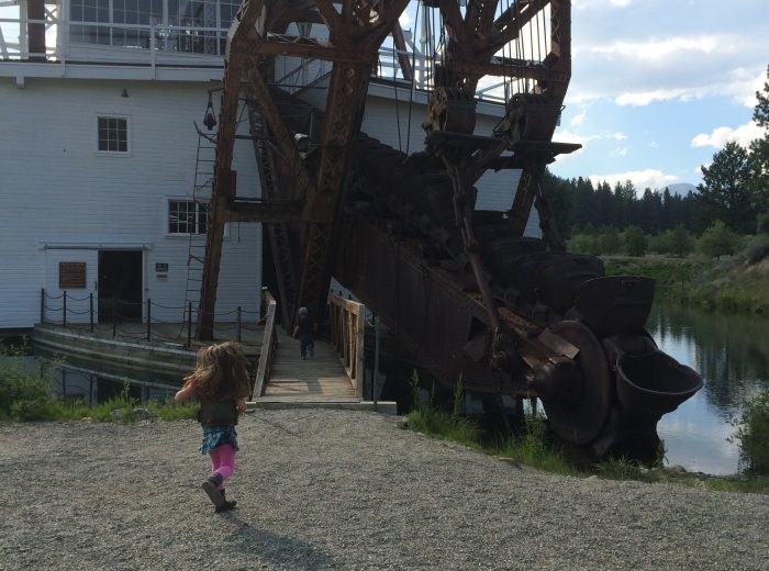
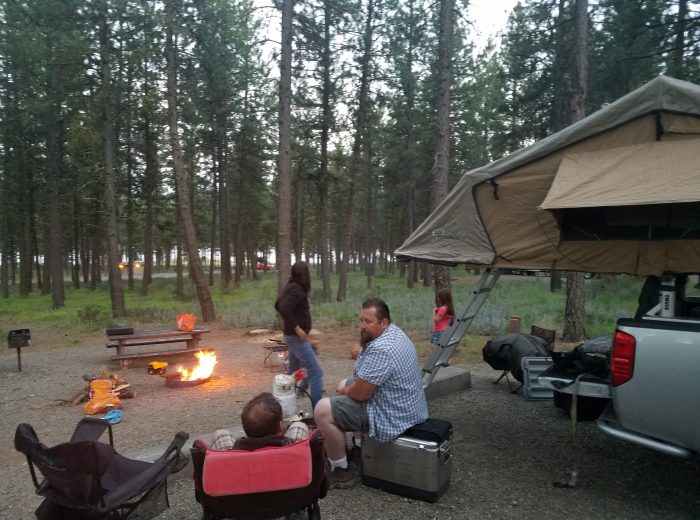
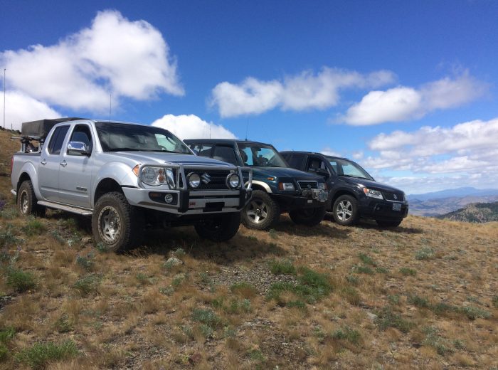
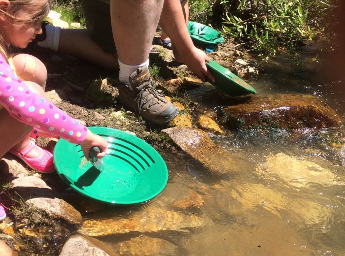
| The meeting location was set to the Sumpter, Oregon Dredge and mining Oregon State Park. This is a gem of a park that has a partially restored / arrested decay dredge that one can walk around in side of and really get the feel for the gold mining that went on in this valley. Sumpter itself is a great small town and is extremely OHV friendly.
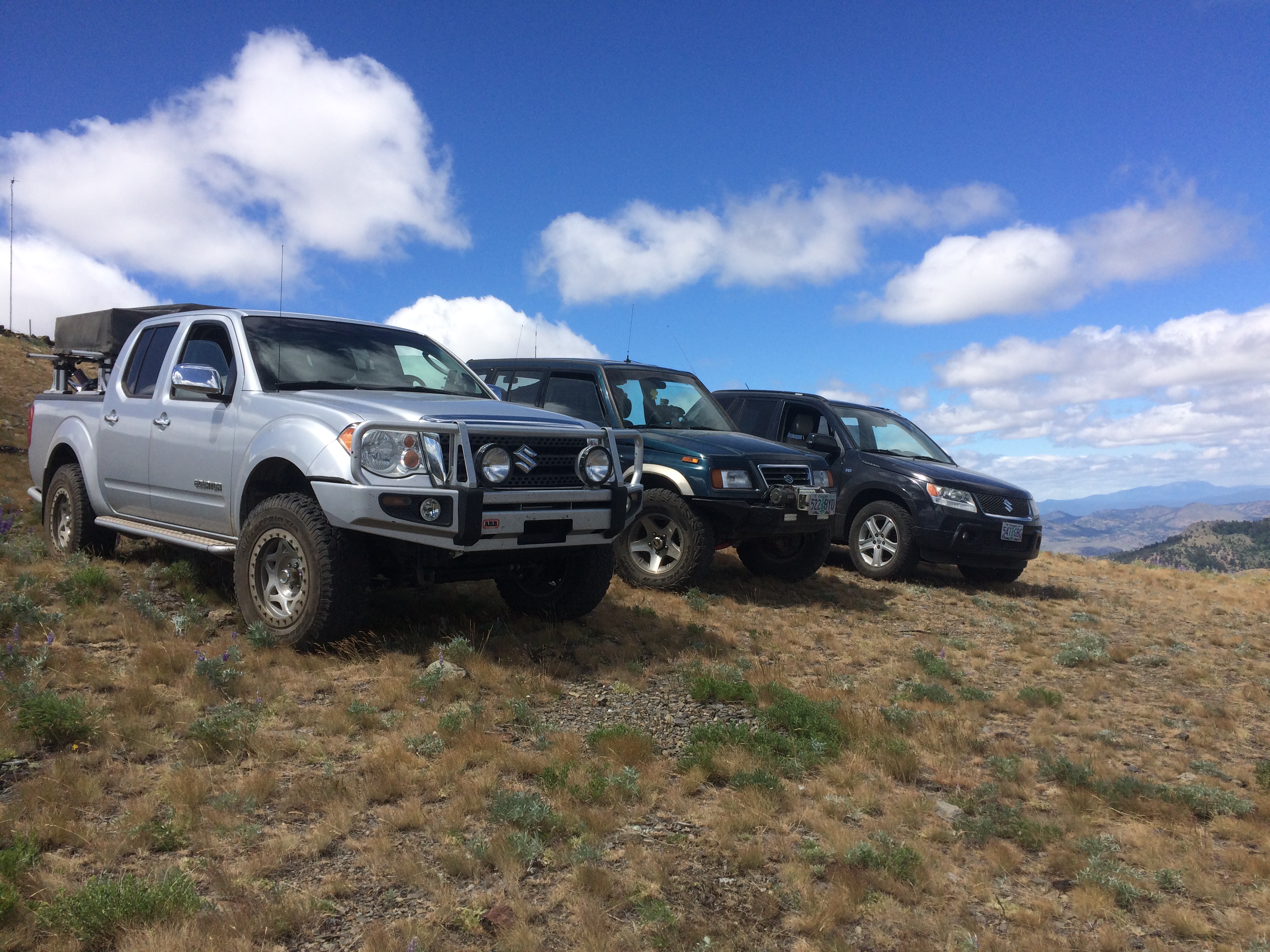
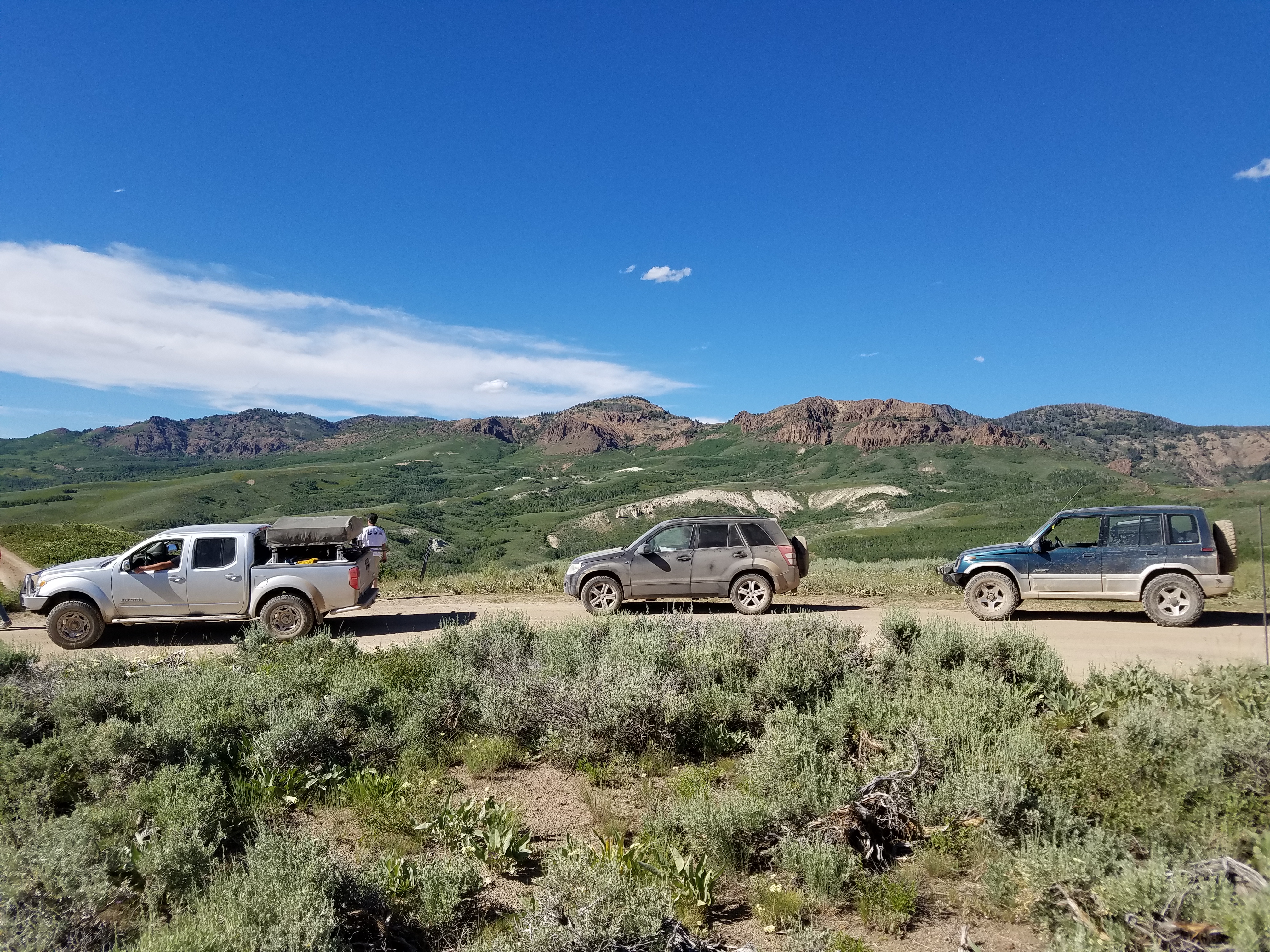
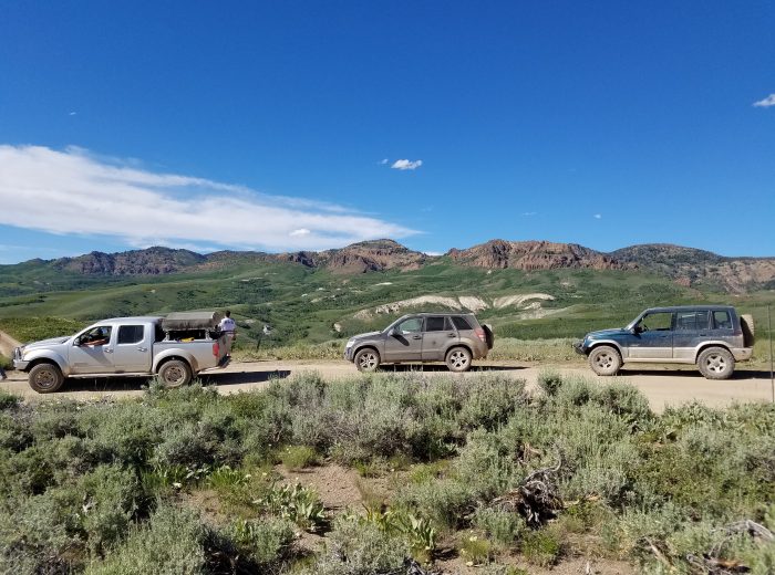
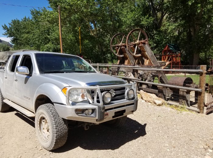
With quite a few last minute cancellations the group was whittled down to a rough and ready group of three vehicles. Matt Verley from Seaside in his custom Sidekick Sport, Greg Faust stock Gen 3 Vitara with traction-hole equipped tires, and us in our ARB equipped Equator. We spent the evening catching up and burning tons of pine needles at the Union Creek campground located at the nearby reservoir. |
 |
|
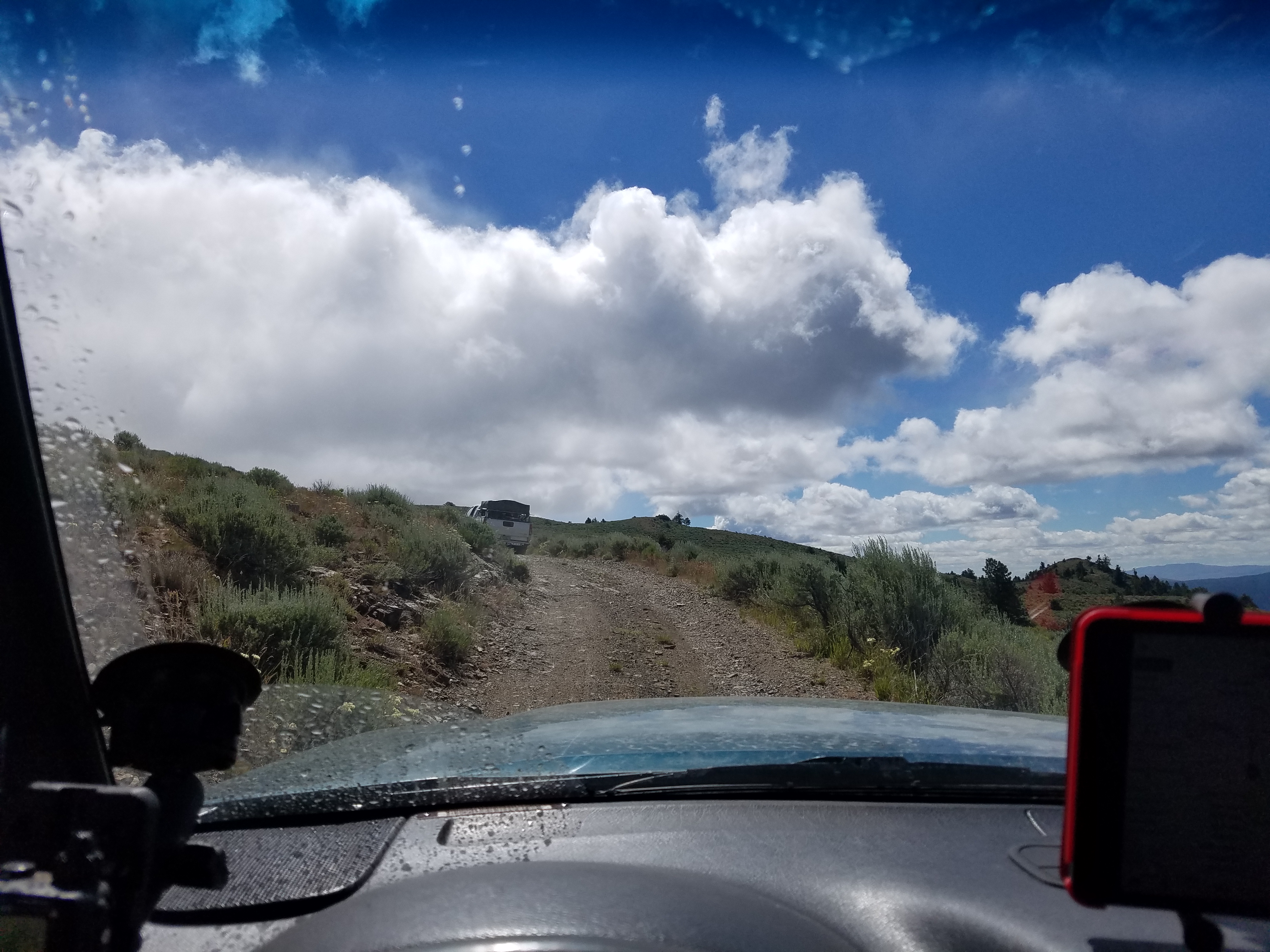
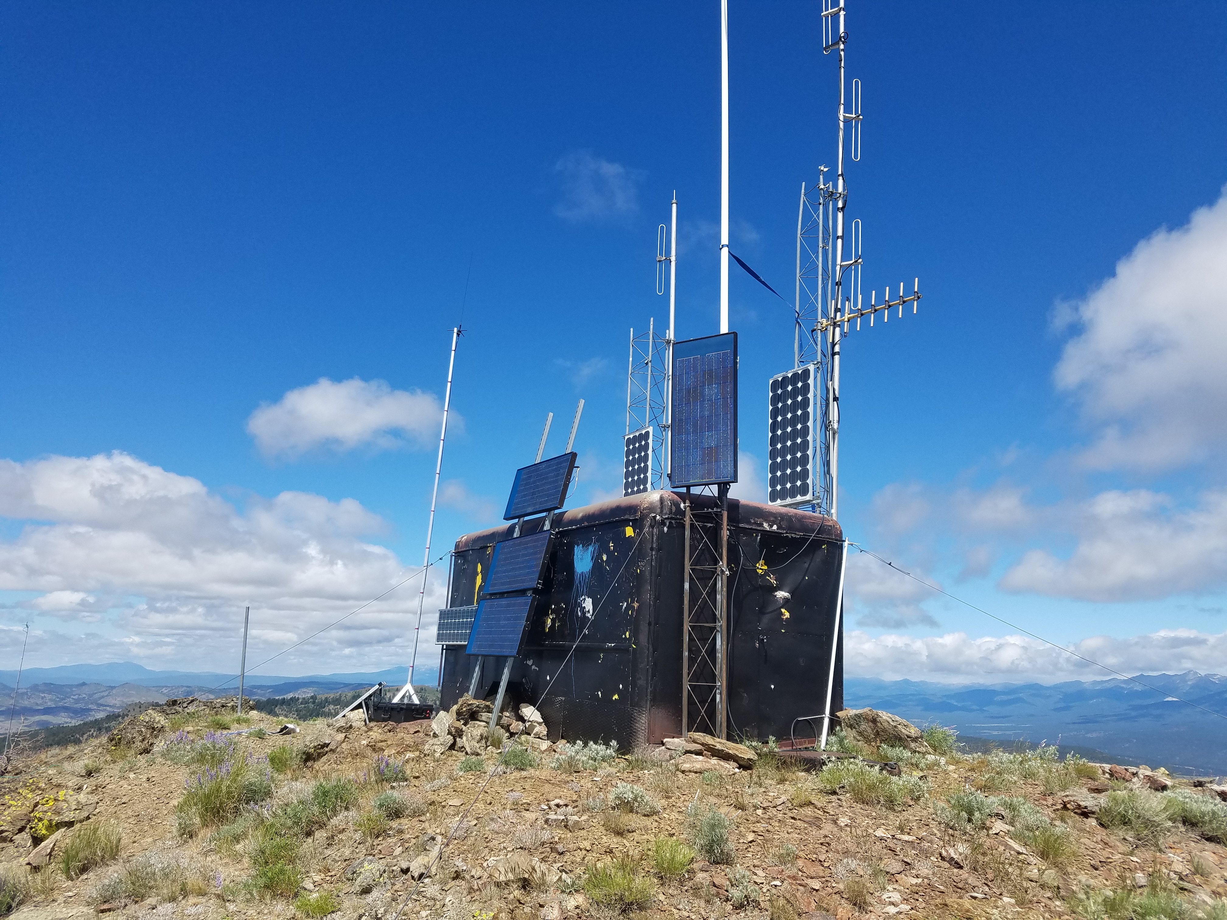
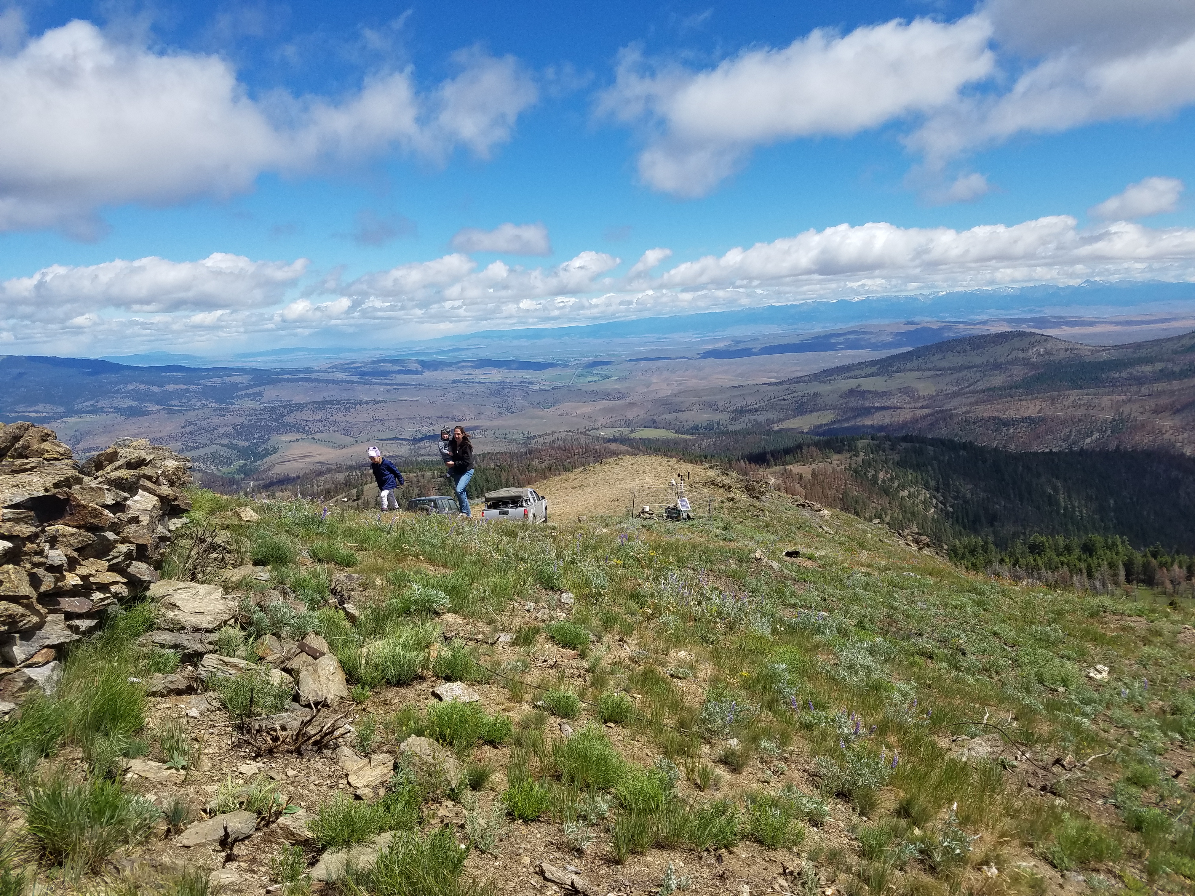
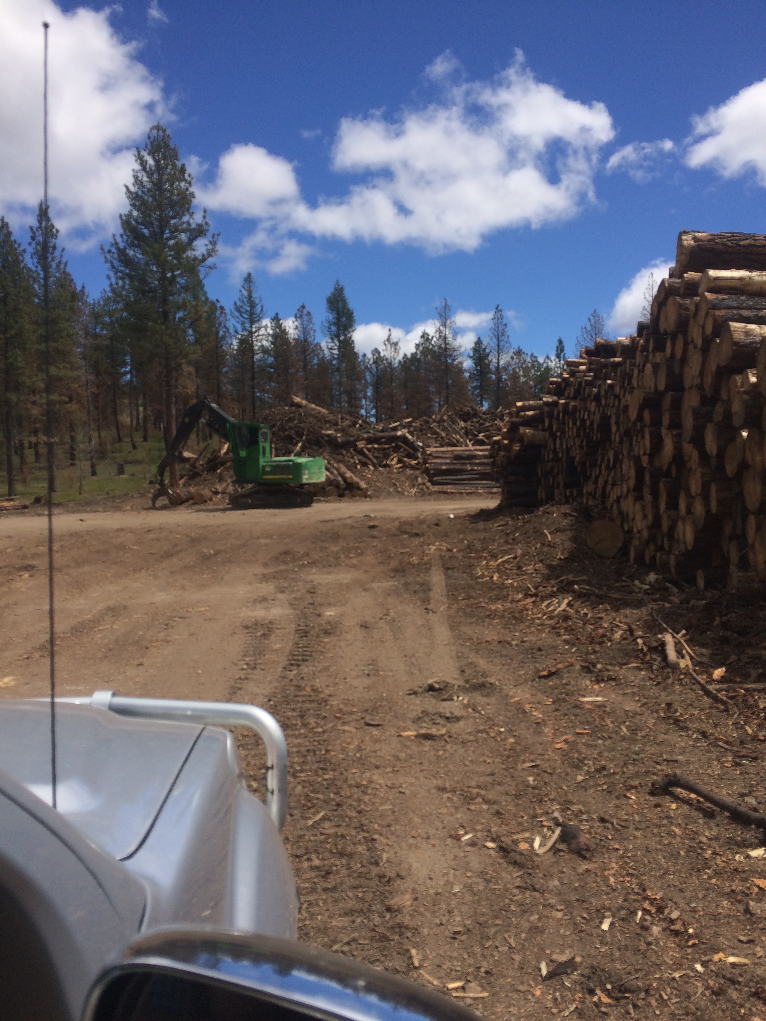
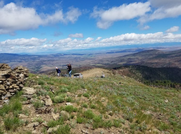
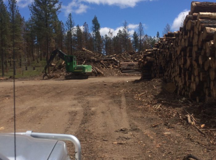
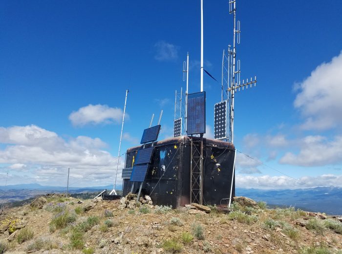
Day one on the trail was a journey through the Ochoco mountains heading south east towards Vale. Since we were not meeting anyone in Vale as previously planned we took a longer more scenic route and was rewarded with spectacular vistas. We stopped on the top of Bald Mountain and checked out the, we think, personal radio equipment and weather station. There is a lot of nice gear up there on this remote radio site. A side note on the wonderful performance of using ‘HAM’ FM radios vs. CB. As a group, we have been migrating to using the FM radios and they really, really helped with this adventure. Due to the dust, there were several times where we were spread out by miles and most of the time communication was clear and reliable. If your club / group is thinking of going to FM, I would encourage it. Ping us on the forum if you’d like some basic help or advice on this subject. Driving past this mountain and onward through the forest it was apparent that a fire had raged through there, most likely last year. To local forest administration credit, there was a salvage logging operation going on saving the timber that would otherwise go to waste. |

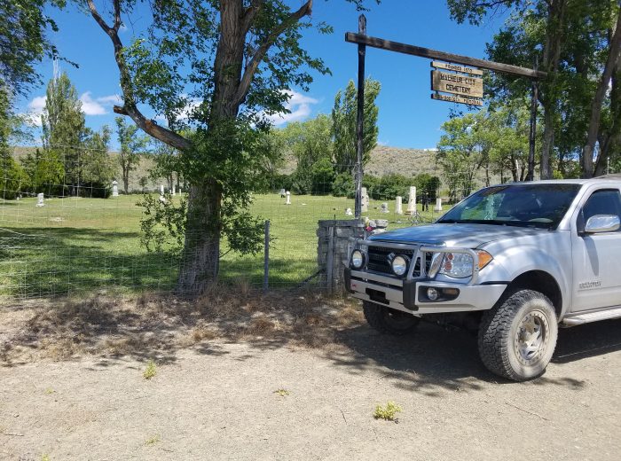
We Then drove through Vale, Oregon grabbing some roller food, ice, and gas. Heading on down the road towards a very small monument to the Oregon trail. Located on the actual route used by pioneers as they made their way to the Willamette valley, this park demonstrates to me that one can have the largest wheel-assisted migration in human history and the supposed scar left by that massive undertaking on this quote / unquote “bio-sensitive and delicate terrain” is barely visible.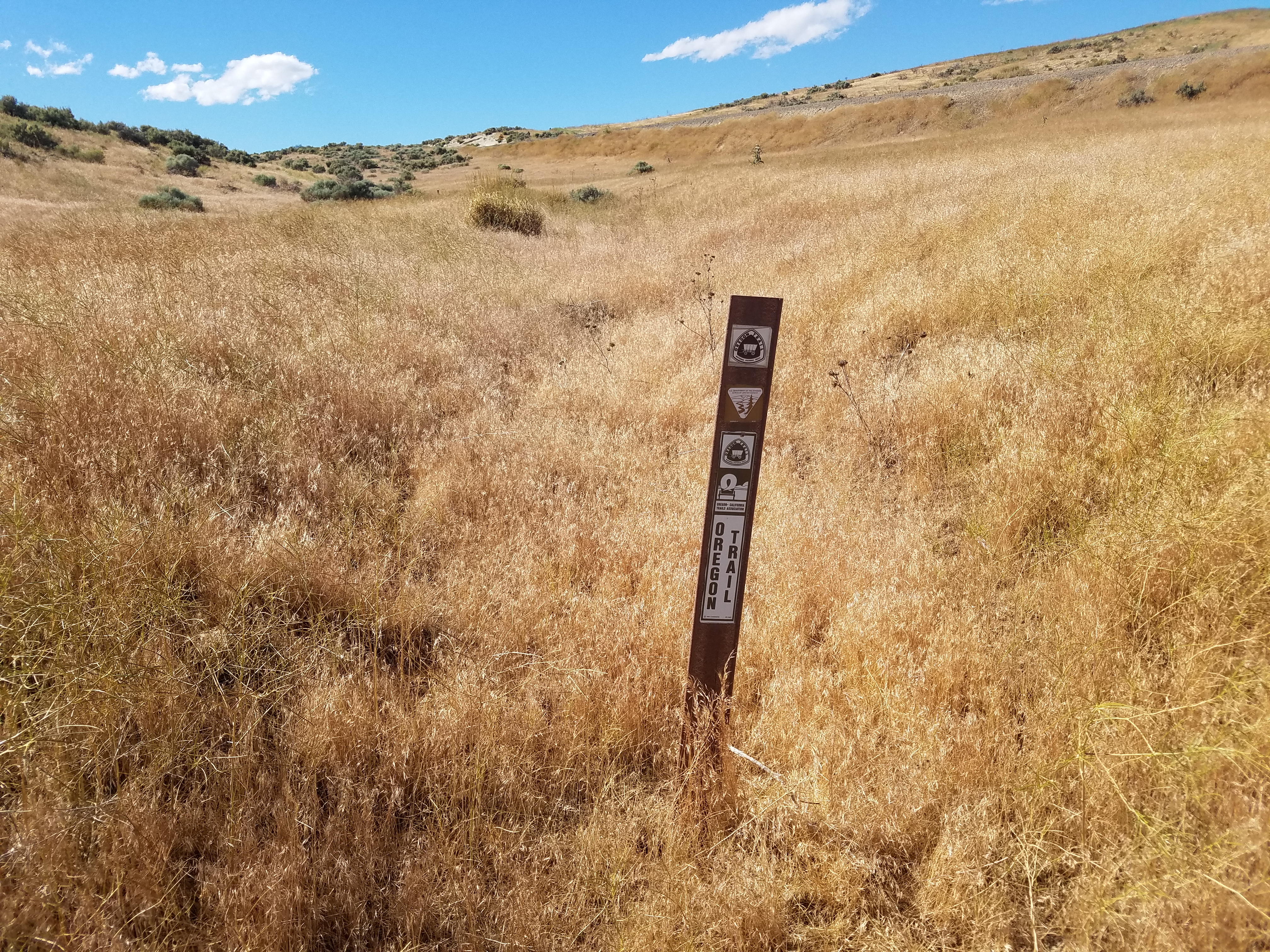
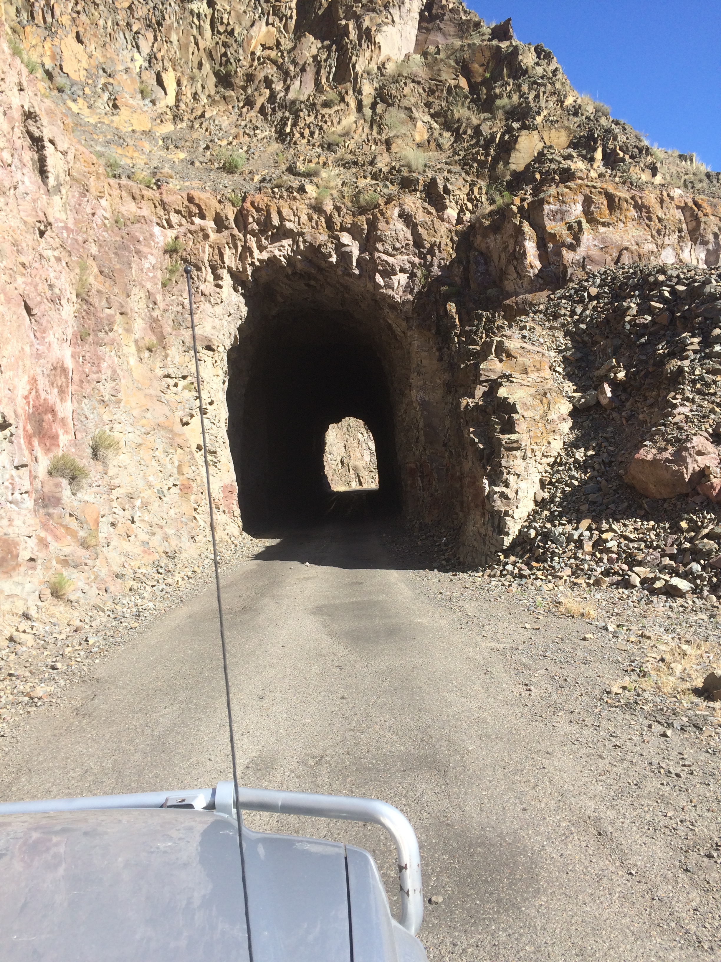
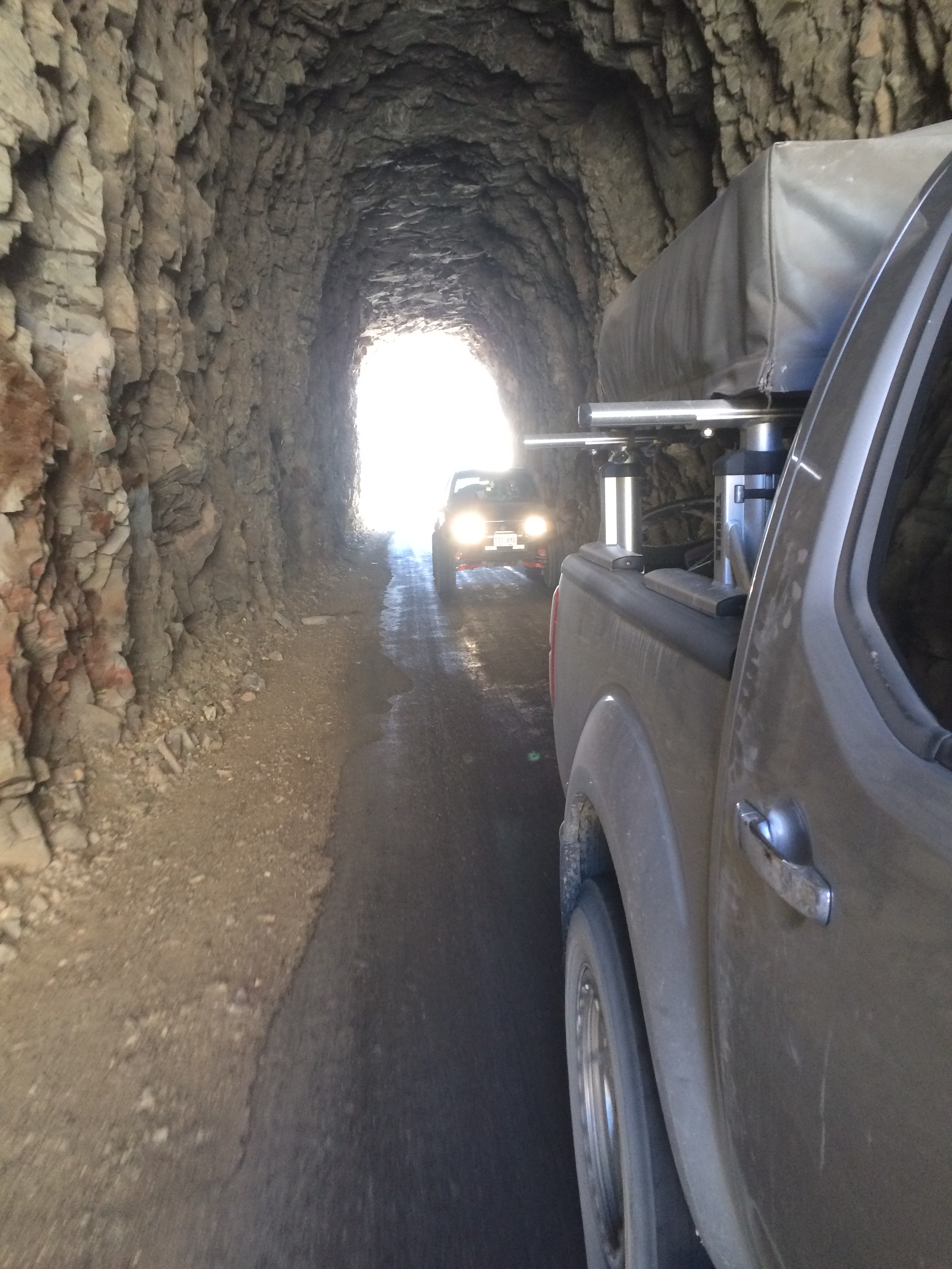
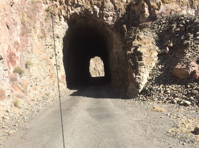
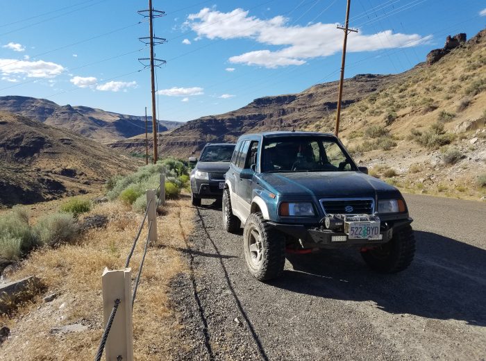
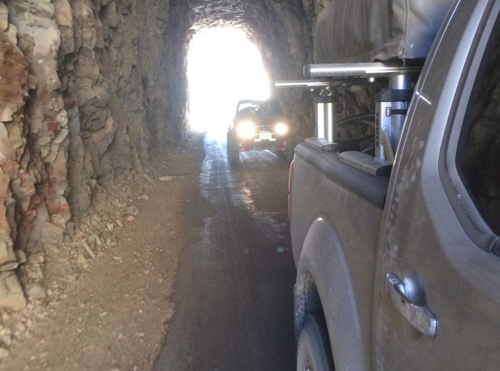
| Look, a tunnel! This was found along a beautiful stretch of road that leads up to the Owyhee reservoir. A favorite recreation spot for locals, this river and ‘lake’ provides many opportunities for fishing, hiking, boating, and camping. One of many spots that could have been a destination and not a drive by, we marveled at the beauty as we moved on to a twisty and really the only ‘hard core’ wheeling section of the trip.
Climbing out of the Owyhee canyon is an older road that is strewn with boulders and switch backs. Like may lessor-known / used roads in the west, it is getting grown in due to the use of the more popular side by sides and quads vs. wider street going vehicles. No problem for us, as this makes the ride even more enjoyable. |
|
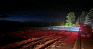
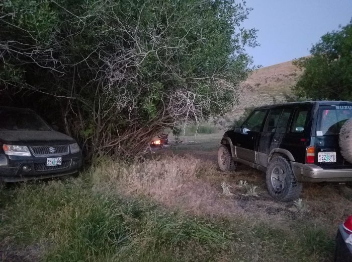
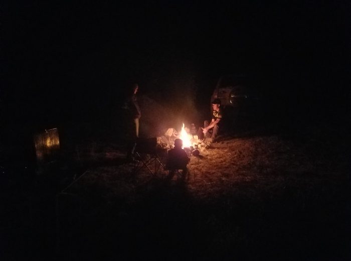
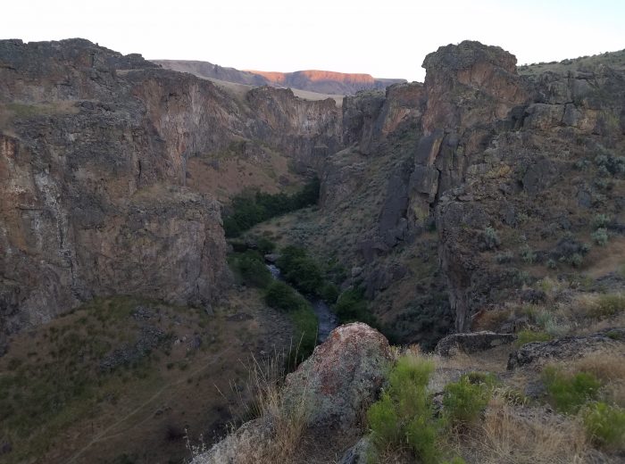
We were late getting to our next camping spot due to the slow and fun climb out of the Owyhee canyon. The sun was setting as we descended on Succor creek canyon. Another gem tucked away in the Gem state and used ostensibly by the locals this incredible picturesque canyon hosted us with splendorous enlightenment, meaning we were camped close, close enough, to a small group that had a pleasant drum circle going on as we made camp. 
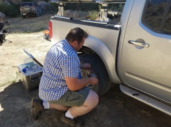
The morning sun illuminated the canyon’s colors from the rock formations and our flat tire. An air compressor and a tire plug kit made short work of the ‘ideal’ puncture and we were soon on our way.
|
Day two and we’re on our way to Jordan Valley for a quick gas and go. It had been awhile since we had been through there and I demonstrated that when commenting on the new sidewalks and street lights. The gas attendant says “dang, you haven’t been here for awhile… that happened like 10 years ago…” Oh, it’s nice!
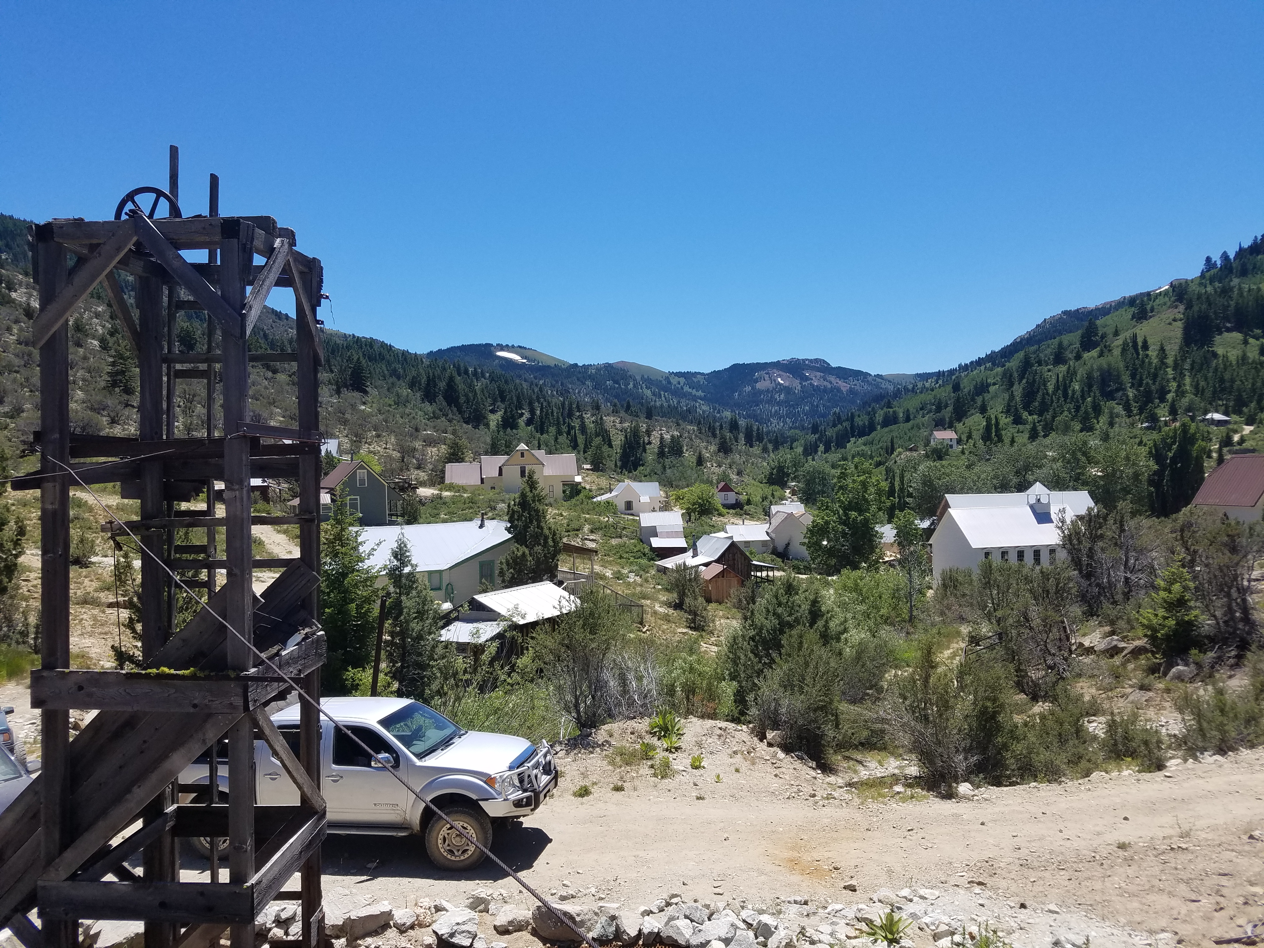
Next stop was Silver City, Idaho. We were excited to show off this ghost town to the group as it was a highlight of an earlier adventure that apparently happened about 10 years ago. Anyway, our excitement soon dissipated as we pulled into town. During a non-holiday weekend this place was crawling and jammed packed with people. Totally weird to pull into a minimal population ‘ghost town’ and not be able to park your vehicle. It was that thick. We quickly hit some of the obviously cool spots, had an excellent ice cream from Matt’s freezer and went on our way. Not a ‘must do’ anymore it still is interesting and worth a trip if you’re in the area. |
As often happens during our adventures, we were now at a decision point. Due to the slow progress on the climb out of the Owyhee canyon, we were quite a ways behind on our timeline. As a group we decided to skip the three forks area and took some more major gravel towards our next feature stop of Jarbidge. As the sun set, we stopped at a welcoming Indian campground located inside the Duck Valley reservation. The Shoshone-Paiute Tribes are here and if there represented by the people we met, they are great! Josh, the local tribal patrol, stopped by us the morning after at the camp and asked me to see my fishing permit as there was a big lake at this campground. I told him that we were not fishing only passing through and had stopped for one night. He said, “OK, may I see your camping permit?” My what? When we drove in late at night, we didn’t see anything that mentioned that. I explained that to him and instead of writing us some revenue generating ticket he asked us to go to the local gas stop / deli / hardware store and by a permit on the way out. It was with great pleasure that I did just that.

|
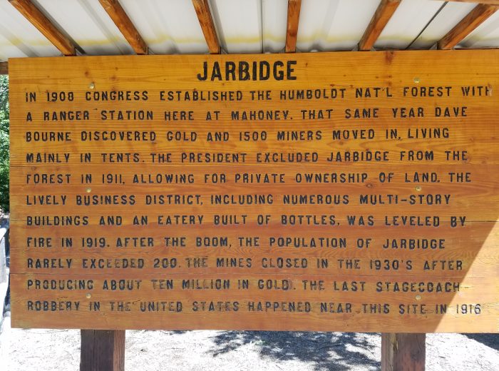
Day three on the way to Jarbidge. A location we’ve wanted to explore for many years as there are a ton of old abandon and otherwise gold mines. As baron, hostile, and boring as the trail was from Duck Valley to Jarbidge the area around this town is amazing. There’s a real ‘open the roads’ access to our lands vibe here that we can really appreciate. There’s even a 20 foot tall shovel commemorating some of the local’s work to open the trail and in doing some research came across an excellent example of civil disobedience with a positive result. Check out the 50 Million Round March and look at the pictures of ‘Liberty Rock’ … this rock is now at the local city park with a plaque describing what happened.
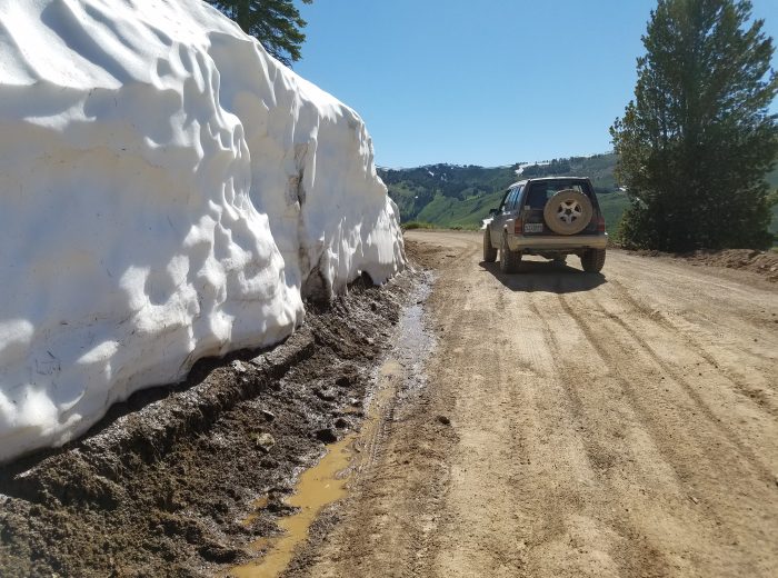
Great restaurant and bar here with two cool features. First, there’s a foot bath located in the restrooms for people to clean off their feet and for $2 one can get a hot shower (towel is included)… These guys got everything one would want, food, beer, bathroom, shower, freedom! We’re going back to just explore this are as there were a ton of trails going off in many directions. But wait, it gets better. We climb out of Jarbidge and cross over a snow covered pass into the most beautiful, and amazing valley we’ve seen in a long time. Trees, flowers, lakes, meadows, rock formations that went on for miles and miles with no one but us exploring. Copper Basin is the name as it’s mentioned on the printed maps. Truly amazing and I know you hear or read that quite often as people describe where they have been but it really was… and it’s located in Nevada, who knew? |


Dropping down and down into more of a desert environment, we headed with a fair bit of speed, that was common during this entire adventure, towards are next nights camp. Far away and out there was a great BLM camp with creek. Usually, any source of water in the desert is a mixed blessing as it means green grass and trees etc.. but also mosquitoes. A nice light breeze kept us bug free all night. Wow, the stars were amazing! In the morning my daughter did a little fishing and even though we saw a lot of ‘monster’ trout, nothing was landed. She and I had a blast though!
| Day four, our final day, and we’re a little slow to get on our way. We needed to gas up before the final push so we dropped down to the town of Wells for the final roller food, gas, and bathroom. This area is so vast and we had to really keep the speed up on the open sections to make time. In retrospect, it was good that a Samurai or two didn’t show. Even though they are awesome vehicles, we own two, it would have been really hard for one to keep the pace we did along the route.
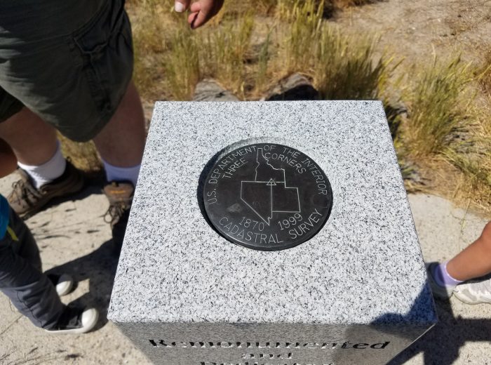
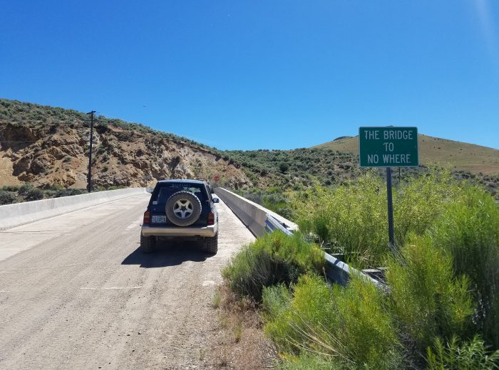
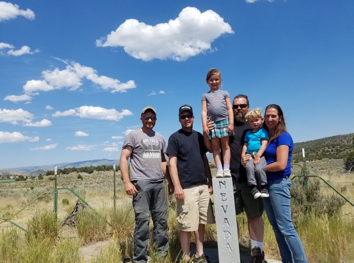
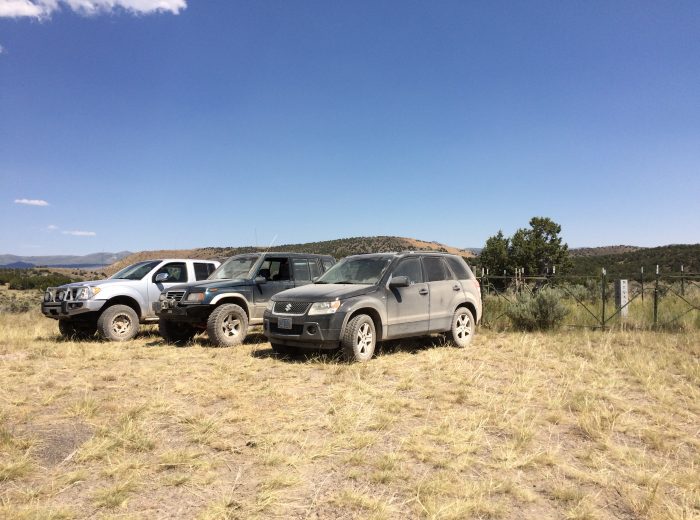
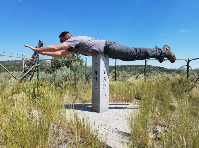
In contrast Greg’s Gen 3 Vitara did amazing. The traction-hole tires never missed a beat and he was able to do the rocks, creek crossings, and 80 mph stretches of gravel with as much ease as Matt and myself. We’re on the hunt for a Gen 3 to build up now and look forward to doing some trail work with one of these sport-utes. We spent a fair amount of time driving the California trail. A large and significant ranch owns most of the land in the NE corner of Nevada and graciously allows people to access the public lands, roads, and trails in the area. As we zero in on the trail, our day was almost dashed as the planned route was marked with a current ‘no trespassing’ sign. Unable to determine if it was for the road or the land on each side of the road, we moved on to plan B. A stroke of luck as we were able to approach the rancher that controlled the perimeter of the BLM land where the convergence was located. An easy going and nice gentleman literally gave us the key to his gates and said “here you go, drive slowly as we got fresh cattle out there, and please put the key on our gas tank under a rock when you leave as we’ll be out by the time you head back out.” This was awesome! Sure there was another route to get to the convergence but a significant amount of hiking in 100 degree weather would have been needed. Thanks so much to the Emory Ranch. You guys rock! So here we are, at the convergence and the obligatory planking and group shot. What a great adventure, with stories for a life time. We headed North from here and our first taste of civilization was Burley, Idaho. It was at this point we parted ways and we headed East while Matt and Greg headed West on I-84. |

|


Please enjoy a documentary YouTube video put together by Matt Verley and a slider of all the choice photos of our journey (below). There is one more convergence along this latitude and it’s the Wyoming, Idaho, and Utah border. We plan on tackling this next year and have some highlights such as the Soda Springs geyser, Monsanto Slag Pour, Minidoka Cave, and Napoleon Dynamite’s movie house already lined up and identified. Check our forum for planning and we hope to see you out on the trail!


![]()
About ZUKIWORLD Online: We are an enthusiast web site dedicated to the promotion of the Suzuki Automobile as the best and most capable vehicle on the planet. We offer product reviews, Tech tips, DIY, Travel and Adventure, Forum, Technical information, Life Style, and so much more!