 ZUKIWORLD Online – Everything Suzuki Your Complete Suzuki Automotive Resource for Editorial, Tech, Events, Adventure, Racing, and Forum
Oregon Back Country Discovery Route Part 2
ZUKIWORLD and friends continue tackling the 950 mile Oregon OHV trail.
-Story: Gil Meacham Pictures: Meacham / Bewley / Mosby
RILEY, OR -Over the Memorial Day Weekend, 9 Bushhackers and myself ran the southern part of the Oregon Backcountry Route from the California border to the Ghost Town of Stauffer. We had such an enjoyable time, we decided to return to Stauffer and continue running the route over the 4th of July. The trip was a great mix of good people, good scenery, good camping, and lots of interesting things to remember: Our leg 2 journey officially began when I met with Dale and Mary Jo Mosby at 7am on the 4th of July at the Glencoe Chevron. Dale and Mary Jo had stayed up most of the night packing their Cherokee, so they were doing their zombies on coffee imitation. This time, they didn’t bring everything including the kitchen sink, they just brought everything EXCEPT the kitchen sink.

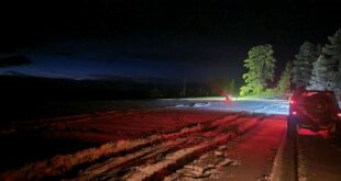
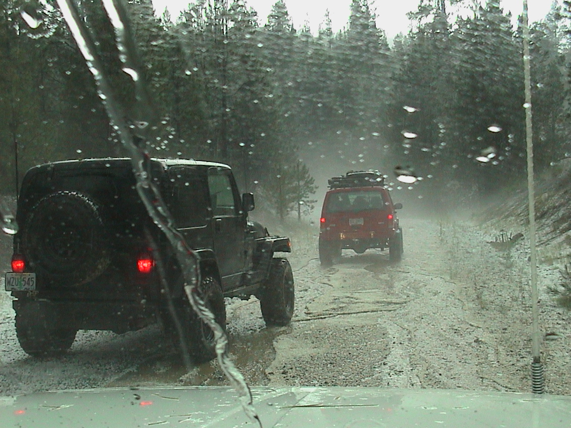
Fourth of July fireworks coutesy of Mother Nature.
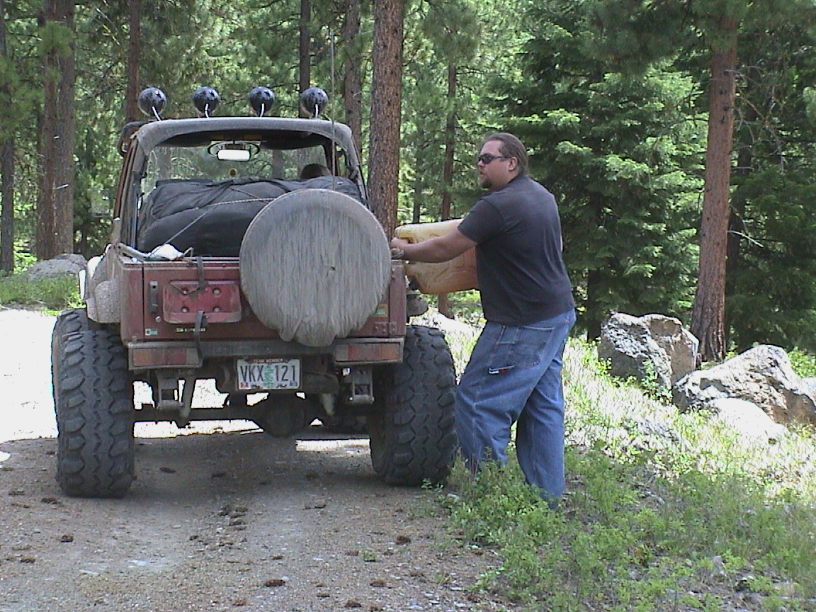
We headed on down to the rest stop south of Wilsonville, where we met Todd Brookes in his immaculate TJ along with Ed and Pat Bodner in their Explorer. Apparently Ed and Pat had entered the unofficial “bring it all” competition with Dale and Mary Jo. Ed had fitted the Explorer with a new roof rack, and was now carrying most of the items necessary to capture a foreign country on it. He even brought a chainsaw this time, which worked wonderfully as some sort of karma-repellent-thingy to make it so we never saw a tree across he road. Luckily, Ed had packed in a quarter of a cord of fine wood to play with instead of the deadfall we didn’t encounter.
After admiring Todd’s newly installed custom laptop and GPS tray, we were headed south to our next rendezvous with the folks from Corvallis.

For those of you who may not have learned this yet, Corvallis is a town frozen in time. Not only does it look like a place that is a little “behind” current trendiness, but the actual residents there have a different concept of time, also. You may remember during our first leg of the expedition we waited in a Chevron station in Tangent for over and hour while Eric Bewley came through the Corvallis time warp to meet with up with us. On this leg, we were scheduled to meet up with Eric and Jason at 9:30. The location was the junction of 20 and 22 in Santiam Pass.

Hello Officer.
After waiting for Jason, Jen, Eric and Sara to break through the time warp for 45 minutes, we decided it was time to saddle up and head down the road, hoping they would catch up with us to before we left Bend. Just as we were walking to our vehicles, I noticed the little matchbox crawler Zuki with the huge tires coming around the corner. It was Eric and Sara. They were being followed by a state patrolman… and the patrolman turned on his lights just as Eric pulled up. Jason and Jen in the TJ were close behind the patrolman, and they came up to join us while the patrolman admired the neat tires Eric had conveniently mounted about a foot outside the wheel wells on each side. I think he was asking Eric how he could get some of those tires for his Camaro to help gain some clearance. Eric told him how, and then they exchanged addresses and we were all on our way.
After a pit stop in Bend, we headed SE to pick up the trail at Stauffer. I made a decision to take a “shortcut” and follow some old desert roads to the exact point where we had to pick up our journey. I won’t go into the details here. All I can say is that it took us a lot more time to get to the start of our second leg than it would have if I had just retraced our original route from Stauffer to Hwy 20. On the upside, we did get in some unexpected 4×4 rock crawling, though.
100 degree weather plus lots of dust makes me cranky.

After finally rejoining the trail where we left it on Memorial Day weekend, we started winding our way SE through the high desert. On this section, the folks with the open vehicles were really suffering. The air was over 100 degrees, and the dust was blowing around and back into the vehicles. We noticed a plume of smoke just east of us, and it steadily grew into a range fire while we completed the loop back up to Hwy 20. We went into the gas stop of Riley, and filled up there. By this time it was late afternoon, and the sky was darkening, so we were anxious to get up the trail to camp.
After heading north from Hwy 20, the trail got more interesting. Their was a lot more rock, and several places required careful placement to avoid banging the diffs on the rocks. Later on, Ed divulged that he was attempting to crush all the rocks with the undercarriage of the Explorer. We were gaining altitude, and the Sagebrush was gradually thinning out to allow more grassy areas. Also, the temperatures were comfortable.
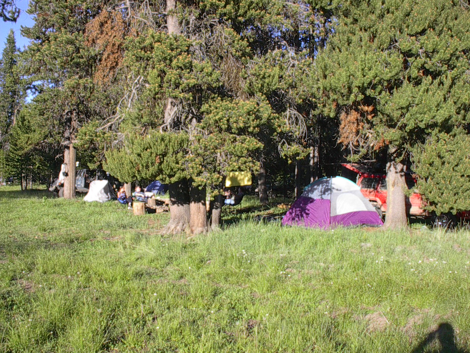
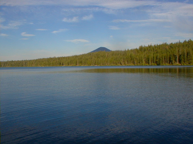
We came to a well established grassy dry camp, and pondered whether to setup there or continue to one of two lakes shown on the map. We decided camping next to a lake would be nicer, and moved on. Just after pulling out of the dry camp, I spotted two large deer bucks with huge velvet racks walking up the ridge. After a pause to admire them and a futile attempt to try and capture them in pictures, we moved on. As it turned out, we didn’t exactly camp “next” to a lake… we camped IN the lake! The first “lake” was more of a dry water hole that wasn’t even visible from the road.
 The second lake, Newell Lake, was a large dry lake bed. It was excellent camping, because there was just enough grass to hold down the dust, and we all had excellent level tent sites. As We set up camp and enjoyed a fantastic sunset with intense hues of orange and pink against the purple sky. Our campfire that night was great, taking off where we had left on leg 2 with the stories and TV trivia.
It rained most of the night, but then cleared up just as we were rising. After a sumtuous breakfast, we all packed up the partially dried tents and headed up the road. The road rises up out of Newell Lake quickly, and there are some sections of the climb that actually used 4WD. Most of the road to this point would be easily traveled by a 2WD pickup, but here it would require brute force and ignorance to go it in 2WD. We went up it easily using 4 wheel drive. After climbing up from the Junipers into the Ponderosas, we traveled some beautiful forest glens and graveled roads for several miles.
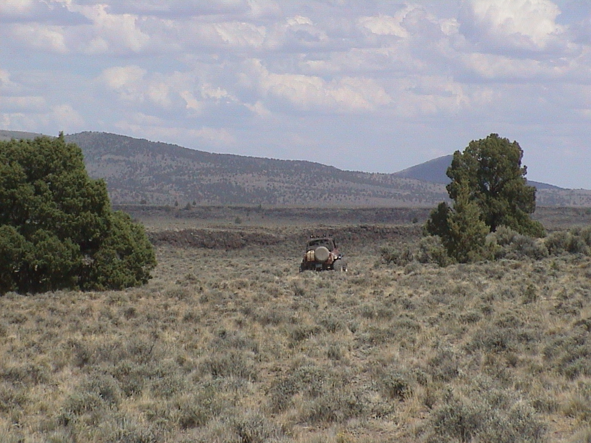
At one point we broke out onto a knoll with a spectacular view of a valley below with 2 lakes and several ranch buildings. The weather was warm and sunny, so we decided to break for lunch. The breeze helped dry my tent and sleeping bag (long, boring story.) Sitting on a knoll high above a spectacular 270 degree panorama in your lawn chair while eating your lunch and conversing with good friends is an experience every person should experience as often as possible. 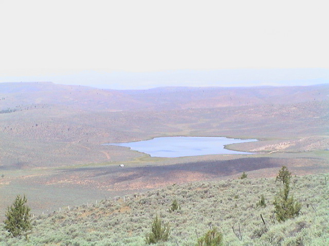
 We finished taking pictures of the sites, then loaded up and continued north. We planned to camp just south of Seneca in the forest, but just as we were deciding which campsite to settle in it began to hail. The hail picked up in size until the crashing of the hail against the hood and windshield of the Cherokee was deafening. At one point I feared the hail would break the windshield, as it sounded like hundreds of rock beating against the glass. I could barely hear on the CB that Eric was out of his rig, trying to get a tarp over his gear.
Once the hail storm had passed, the sky cleared up and the sun broke out. There was a few inches of hail on the ground now. The hail was rapidly melting in the sun, and rivers of water were running down the road collecting in big puddles. I splashed through several of these deep puddles, then realized I was coating the Cherokee with a layer of mud, and there was nowhere to clean it off. The rest of the ride, I would end up getting muddy every time I got within a foot of the Cherokee.
Since the ground was now covered with slushy hail, we elected to push on into Seneca and refuel, then find a motel. Once we arrived in Seneca, we found out the gas station closes at 6pm. It was 6:30 when we got there, and so we couldn’t get gas until morning. The nearest town with an open gas station was Canyon City, a suburb of John Day.
We drove the 25 miles to Canyon City, and then decided to stay in the dry comfort of a motel room for the night . The only motel in John Day with enough vacancies to handle our group was the Budget Inn. I believe Jason said he had stayed in many flea bag hotels in 3rd world countries and this was the sleaziest place he had experienced. Most of our group slept in sleeping bags on top of the bedspreads to avoid whatever flora and fauna may be developing between those sheets. It was nice to get a warm shower.
After a warm restaurant dinner, a night of sleeping in a flea bag motel, and a nice restaurant breakfast, we headed back to Seneca to rejoin the route. We lost a few hours in the process, but we slept warm and dry. It was interesting that there was an OBDR marker sign in Seneca, but it wasn’t on any of the routes on the map. I speculated that someone had “borrowed” the sign and moved it to their RV park drive to encourage business.
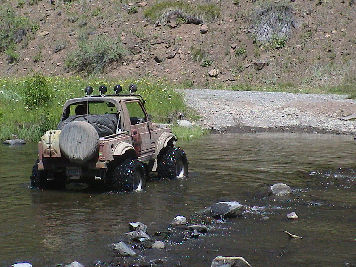
At the Malheur River Crossing.
The route runs east out of Seneca into the Malheur River drainage. This is an incredibly beautiful mountainous forest, with very light usage. Making a slight divergence from the designated route, we drove along the appropriately named “Antelope Valley” and saw about 40 head of antelope off in the distance. A little while later, I had an exciting moment when a huge bull elk jumped down into the two track road just ahead of me. I slid sideways trying to miss him, and he helped out by leaping through the trees off the road. No harm done except the adrenaline rush.
We stopped at Sugarloaf Lookout Tower, and were invited to climb up the tallest of the lookout towers in Oregon by the lookout person. Being the gracious leader I am, I allowed everyone else the pleasure of climbing the rickety steps up to the miniscule house on top of the tower. I stayed on the ground to make sure no bears attacked our larder. While a couple of folks were up in the tower, a jet fighter made a low pass level with the lookout cabin, and it was pretty spectacular.

The lady of the lookout.


A fearless lookout watchdog at a one of the previous lookouts.
A view from the top of the Sugarloaf tower!

We camped in an established dry camp at the edge of a beautiful meadow that evening. Behind our camp was a wilderness area, with a forest service camp up the road a few hundred yards. The weather was warm and sunny, cooling down for good sleeping during the night. This in spite of the 6,500 ft elevation we were camped at.
Around the fire, we enjoyed several gourmet delicacies. We started off with Eric creating popcorn flambeau. The interesting thing about his recipe is that you don’t actually EAT the popcorn! Instead, you use it as a fuel to cook Jiffy Pop over. The flames off the popcorn flambeau seem to be just the correct temp to cook Jiffy pop. If you need the recipe, contact Eric and I’m sure he will share it with you.
One of the real highlights of the dining experience was Mary Jo’s bar-b-qued chocolate chip cookies. These were so sumptuous, and they disappeared moments after she pulled them off the grill. Again, I’m sure she would love to share the recipe with you.
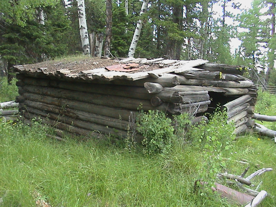
At the Lost Cabin.
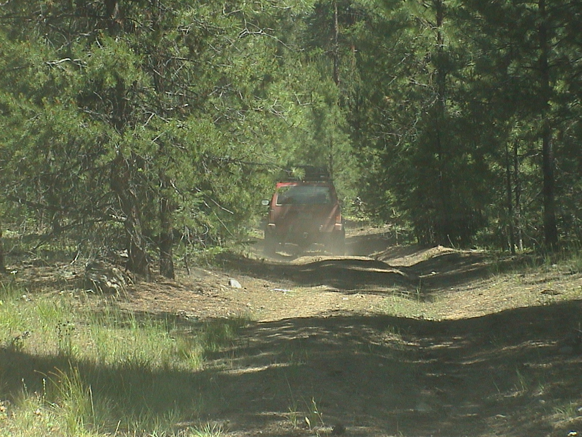
Above: Gil Leads the way in his Cherokee. Below: Some cars aren’t as fortunate to complete the trip.

We decided to climb out of our cars to give our butts a rest and take a short hike to a historical site called Lost Cabin. This was a small broken down cabin in a meadow with a couple of broken down cars. To me, it looked like an old abandoned homestead. Someone else must see more in this area. Anyway, the mosquitos were thick so we were quickly on our way.

Border markers for the Wilderness Area.
The next morning, we packed up and headed northwest to highway 26. The road was covered with butterflies. This made it very colorful to drive along and scare up flocks (not herds) of butterflies as we traveled. Around lunchtime, we arrived at the crossing point of Hwy 26 where we headed west to the gas stop in Austin. The folks at the fuel stop in Austin had just bought the business, and they were very friendly and helpful. Eric, Sara, Jason, and Jen had to leave (probably some sort of time warp thingy!) so we made our good bye speeches.
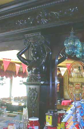
Antique hand-carved wooden bar at Austin House
Jason, Jen, Sara, and Eric stopped for a dip in Subtle Lake on the way home.
Above: Some of the stretches are pretty long, carry gas. Below: Todd’s broken tire.
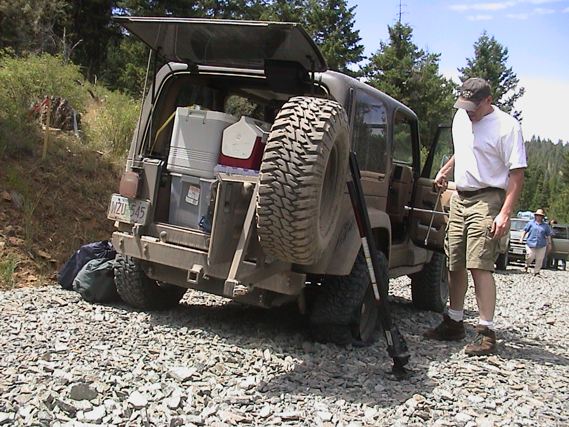
We went back to the route crossing and picked up heading north from Highway 26. After a few miles we pulled onto a freshly “graveled” road. The gravel was actually sharp rocks about the size of a large hot dog. After a few miles of this, Todd called on the radio and said he had a flat. After playing around with a couple of hi lifts, we were back on the road, and stopped for lunch in the ponderosas. Later that afternoon, we visited a historic power station on the way up the mountain to Olive Lake. When I pulled into the lake, it seemed surreal. I had been on the road for 4 days straight and had not seen more than 10 people at a time anywhere. And most of the people were quite relaxed. Now, I was in a campground with hundreds of weekend warriors scurring about, trying to relax. We decided to continue on to the North Fork of the John Day river.
Camping at the North Fork of the John Day was primitive. The river was beautiful and we found plenty of space to spread out and enjoy being riverside. More warm chocolate chip cookies for dessert, mmmmm. We fell to sleep with the roar of the river close by.
Sunday morning I spent a few minutes fishing in the river, but only hooked one small brook trout. The river was quite low, and I figure most of the larger fish were in bigger holes. The river was quite wide and flat by the camp with no large holes. As we drove upstream, I saw several nice holes and the river narrowed and deepened. Someplace to return to in the future.
There are some huge burn areas north of the middle fork. Most of the damage occurred in a burn of 1996. We drove through several miles of burned stalks of trees. The road climbs pretty steeply out of Oriental Creek and then winds its way up to Tower Mountain. I saw several deer crossing the hills as I drove. 


At the Tower Mountain Lookout, we met a very friendly lady and her husband. They were school teachers who ran the lookout for the summer. They gave us the royal tour, and again I guarded the rigs while everyone else climbed up the tower to catch the view. Very interesting people that run these lookout stations.

Trail leader Gil and his faithful dog, Sharky.


A old(er) powerplant along the route.
The road from Tower mountain was pretty uneventful. More butterflies, a couple of deer, and a ton of great scenery. We eventually came to the town of Meacham. This was our destination for leg 2, so we were successful. Unfortunately, the only gas station in Meacham burned down a couple of years ago, so there is no gas there. We had 4.5 gal NATO gerry cans on the Cherokees, but we had no spouts. Using my funnel would have worked, but it was much easier to just use the little 2 1/2 gallon can with built in spout that Ed had. After a nice lunch at Immigrant Springs park, we were headed back for home. Now we can start preparations for leg 3 “The Final Assault”! Stay tuned….